« News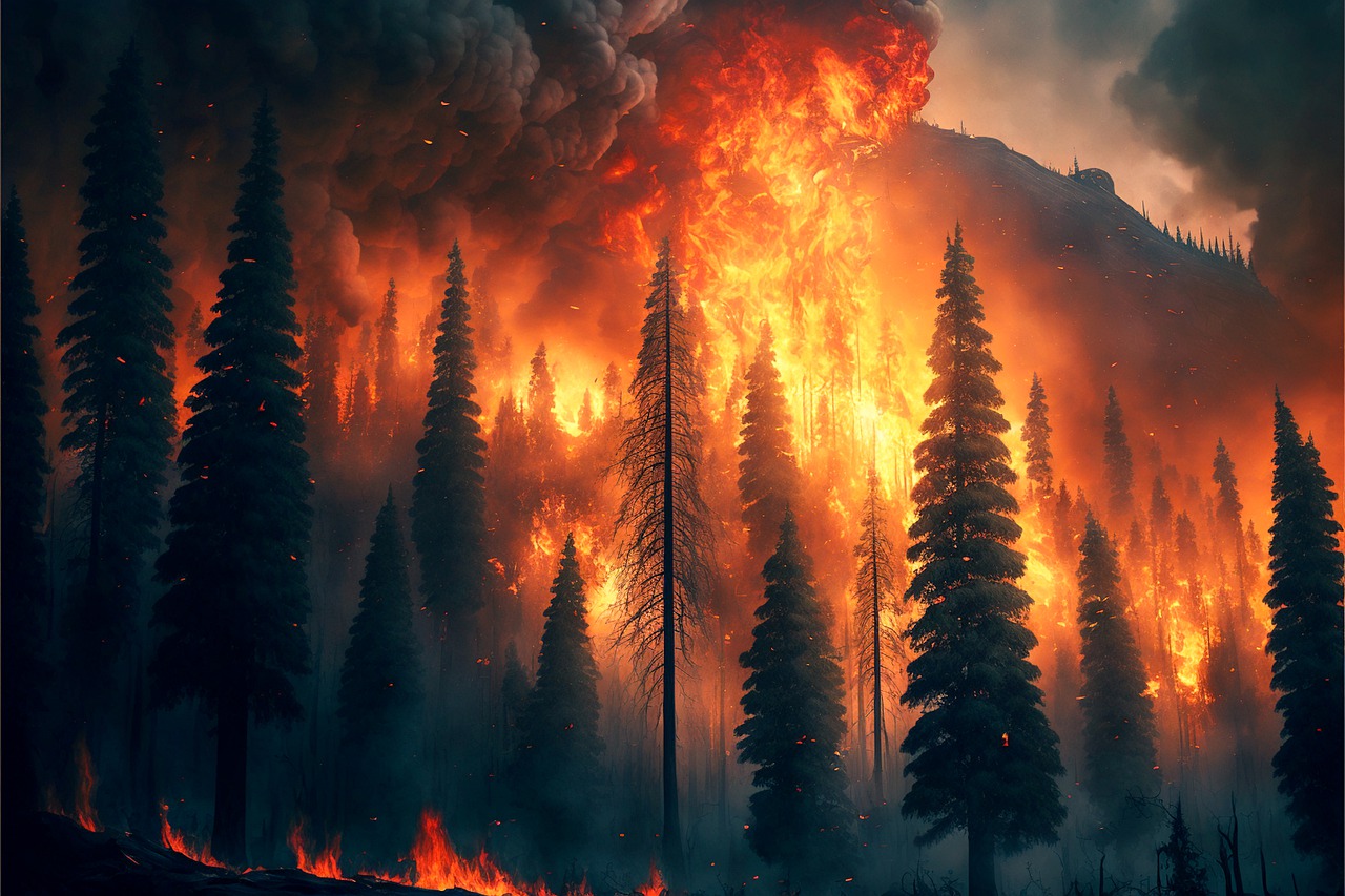
Deriving fire emissions from space, interview to Dr. Jenny Stavrakou
June 2023
The heavy pollution situation in major cities in Northern America last week brought to public attention the importance and scope of wildfires. Their impact is increasing with climate change, and we need to adapt quickly. Mitigation and adaptation strategies need to be put in place at different levels. Common to all these is the need for timely and accurate monitoring of fire emissions and their evolution. Monitoring of wildfire emissions with the help of satellite data requires complex inverse modelling techniques to develop what are generally known as "top-down" estimates and are currently seen as a powerful monitoring approach.
Dr. Jenny Stavrakou works at the Royal Belgian Institute for Space Aeronomy (BIRA-IASB). Her role at SEEDS is to develop and disseminate high-resolution top-down emission datasets of fires and vegetation over Europe.
Why is BIRA-IASB, and particularly you, involved in SEEDS?
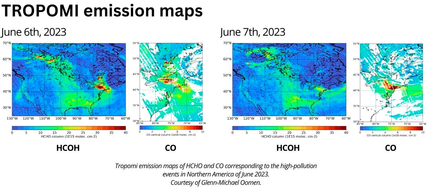
At BIRA we have the mission of studying the atmosphere of Earth and of other solar system bodies. For that we use a wide array of expertise ranging from instrumental development and space mission design. We also work on the derivation of satellite products and their geophysical exploitation using modelling and inverse model tools. Within SEEDS, I develop top-down fire products based on chemical observations of formaldehyde from the TROPOMI instrument on the Sentinel 5P satellite. Then I integrate them with the MAGRITTE atmospheric model and advanced inversion techniques.
Why do we need top-down fire emissions products?
These satellite-based products are an independent way to derive fire emissions from space observations that we can later compare with other fire emissions estimates such as GFAS.
What does GFAS stand for?
GFAS is the Global Fire Assimilation System created by the Copernicus Atmosphere Monitoring Service. GFAS produces daily estimates of emissions from biomass burning and it does so by assimilating satellite observations of a fire proxy –the fire radiative power– that measures the energy released by the fire.
Are fire emissions high?
On the global scale, wildfires release into the atmosphere about 1.5-2 billion tonnes of carbon per year, although dry conditions and heatwaves increase fire intensity. In comparison, anthropogenic activities (mostly fossil fuel combustion) release about 11 billion tonnes of carbon per year. So yes, wildfires are equivalent to 13-18% of anthropogenic emissions, it’s massive !
Why is it important to track fire-related emissions?
Wildfires release large amounts of CO2, black carbon, and ozone precursors into the atmosphere and therefore affect radiation, clouds, and climate. Wildfires also emit substantial amounts of volatile and semi-volatile organic compounds and nitrogen oxides that form ozone and lead to particulate matter pollution. Therefore, tracking fire-related emissions is key for both short-term air quality monitoring and long-term climate-related emissions monitoring.
Which is the added value of SEEDS products for fire emissions tracking?
It is very important to measure the contribution of forest fires and emissions trends of trace gases released into the atmosphere. Ground-based data are valuable, but they have limitations related to their scarceness that can be overcome by remote sensing. Remote sensing of chemical compounds can provide additional spatio-temporal fire information to improve fire emission estimates.
SEEDS already provides some fire-related products in the Data viewer. Which are your next steps in the development of fire emissions products for the last year of SEEDS?
An important issue is the uncertainty in top-down fire emissions. This will be tackled in the last year of the SEEDS project, by doing a comprehensive sensitivity analysis to determine the role of critical parameters which are not perfectly well known in the model. This will lead to a better understanding of the key uncertainties and suggest priorities in future research.